Last July 2010, I took an entire day from dawn to way past dusk to travel to Charleston, South Carolina. This is a chronicle, in images, of the Charleston County leg of that trip that July afternoon.
That afternoon has already been chronicled in earlier pictorials: "
Every Picture Tells a Story ... Don't It:" The Road to Charleston, SC, Part I: Pawleys Island and
"Every Picture Tells a Story ... Don't It:" The Road to Charleston, SC, Part II: Georgetown. On this whirlwind day, I traveled fast and shot my now-antiquated Sony 6-mega-pixels camera, in manual mode, even faster. My idea was to see as much as I could in 15 hours, shoot my aforementioned camera with impunity, and sort it out later ... when I had the time. This is my reconciliation of the Charleston County, north of Charleston, leg of this trip.
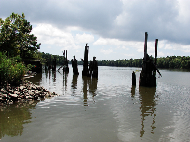
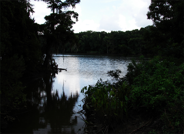
Just as soon as I crossed the Charleston County line at the Sanee River, I stopped for an impromptu hike along the Santee River in the Francis Marion National Forest. The river is filled in by many large sandbars near its mouth as it runs through the South Carolina Lowcountry into the Atlantic Ocean.
Hear are a couple of images about 14 miles up the river from the Atlantic shore: Above and below. images by Stan Deatherage
 Click here
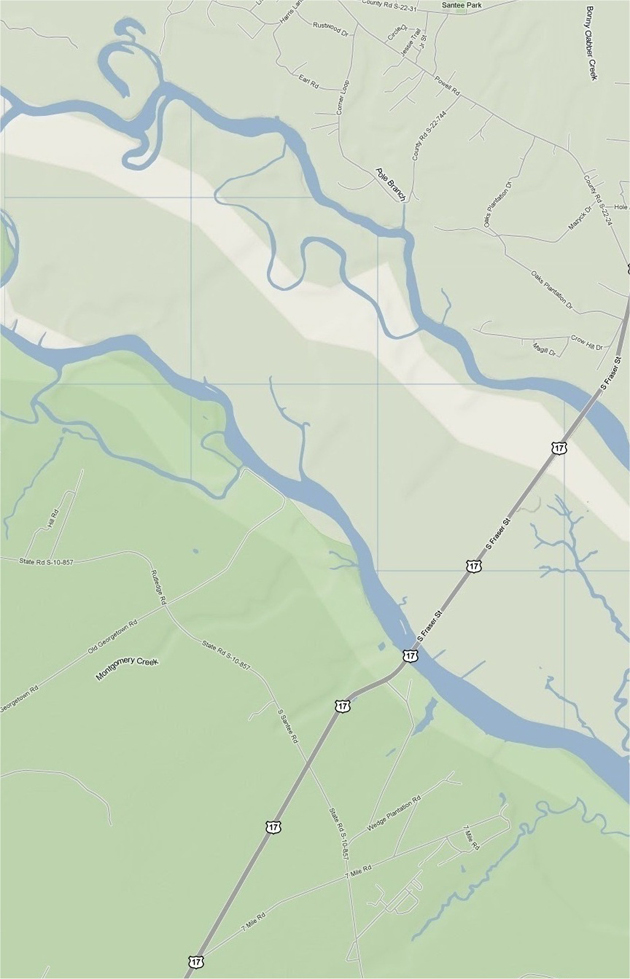
 for an enlarged view of northeastern / central South Carolina.
The location map above gives the location of my Santee River walk. It was on the south shore of the Santee River (the lower river) once one crosses the river on U.S. Highway 17. The images below are of Hampton Plantation. Hampton Plantation is part of the Hampton Plantation State Historic Site. Turn north (take a right) on the first hard-surface road, South Santee Road, after crossing the Santee River. Hampton Plantation is about 2 miles on the right up Hill Road.
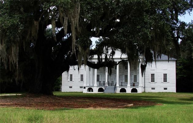 Hampton Plantation is of the Georgian architectural style that was so prevalent throughout the planters region of eastern South Carolina. Hampton Plantation is situated about equi-distance between the state hard-surface road that brings you to the state historic site and Wambaw Creek, which feeds the Santee River. images by Stan Deatherage
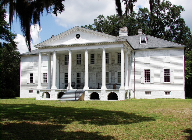
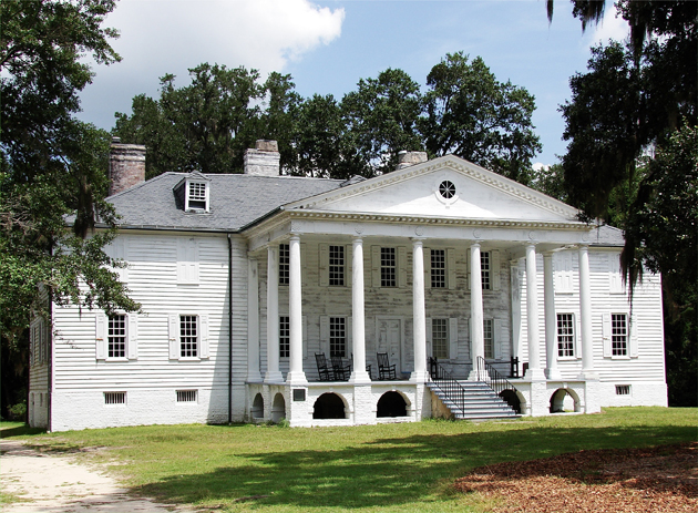 As you can tell from this image, Hampton Plantation needs a bit of love: Above.
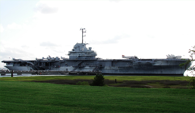
In Mt. Pleasant, along the north shore of Charleston Harbor, the USS Yorktown State Park encompasses a well-represented point along the geographical parameters of that historic body of water. The USS Yorktown was under construction as the Bon Homme Richard when its valiant namesake was sunk in the pivotal Battle of Midway (June 1942), the only US Navy carrier lost. The Japanese Navy lost three carriers, and ultimately the war. The new Yorktown is an Essex-class Aircraft Carrier completed in 1943 and serving the remainder of the war in the Pacific while earning 11 battle commendations: Below. images by Stan Deatherage