

A Constitutional Republic, where the First Amendment is Essential to OUR Survival


National Parks: Part III, The Cape Hatteras Light Station


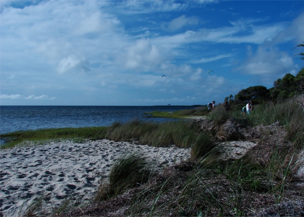
Back at the day use area, I enjoyed time with my camera, taking this backlit picture of the windsurfer: above. The beach at Salvo Day Use Area: Below.
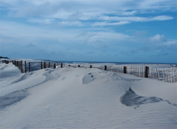
After my break on the sandy banks of the Pamlico Sound, I head north with the storm clouds gathering darker and more ominous. More rain possibly? More pictures definitely; but we are drawing to this day’s conclusion, and as the sun sinks lower among the billowing clouds, I must say good bye. But first a short burst of pictures of the day's end. The first shot is the high dunes along NC Hwy 12 that runs through the middle of the Pea Island Wildlife Refuge.
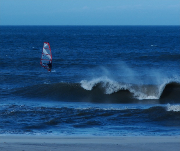
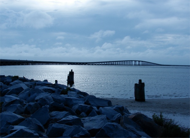
Wind sailor in the surf at seashore in the Pea Island Wildlife Reserve: above. The Herbert C. Bonner Bridge spanning the Oregon Inlet before I head across it and back to Nags Head: Below.
Article courtesy of the our sister site: Better Travelers Now.

Comment

|
David Winstead said:
( October 7th, 2009 @ 3:47 pm )
Love the photos Stan! makes me want to go there now...
|
| Washington, DC: Part I, Arlington Cemetery | National Parks and other National Places, Body & Soul, Travel | Savannah, Georgia |


Home
Contact
About
Service Rates
Privacy Policy
Follow on Facebook
Subscribe to Newsletters
Rss Feed
Keywords
Eastern NC Now & ENC NOW © Copyright 1998-2024 All Rights Reserved.
