Publisher's note: We believe the subject of history makes people (i.e., American people) smarter, so in our quest to educate others, we will provide excerpts from the North Carolina History Project, an online publication of the John Locke Foundation. This nineteenth installment, by Jonathan Martin, is provided courtesy of the North Carolina History Project.
Culled out of New Hanover and Bladen Counties in 1764, Brunswick County is the southernmost county in North Carolina. Brunswick was named in honor of King George I, the Duke of Brunswick and Lunenberg. The county seat has been relocated numerous times from Brunswick Town, to Lockwood Folly, to Smithville (now known as Southport), and then finally to its current location at the Bolivia township.
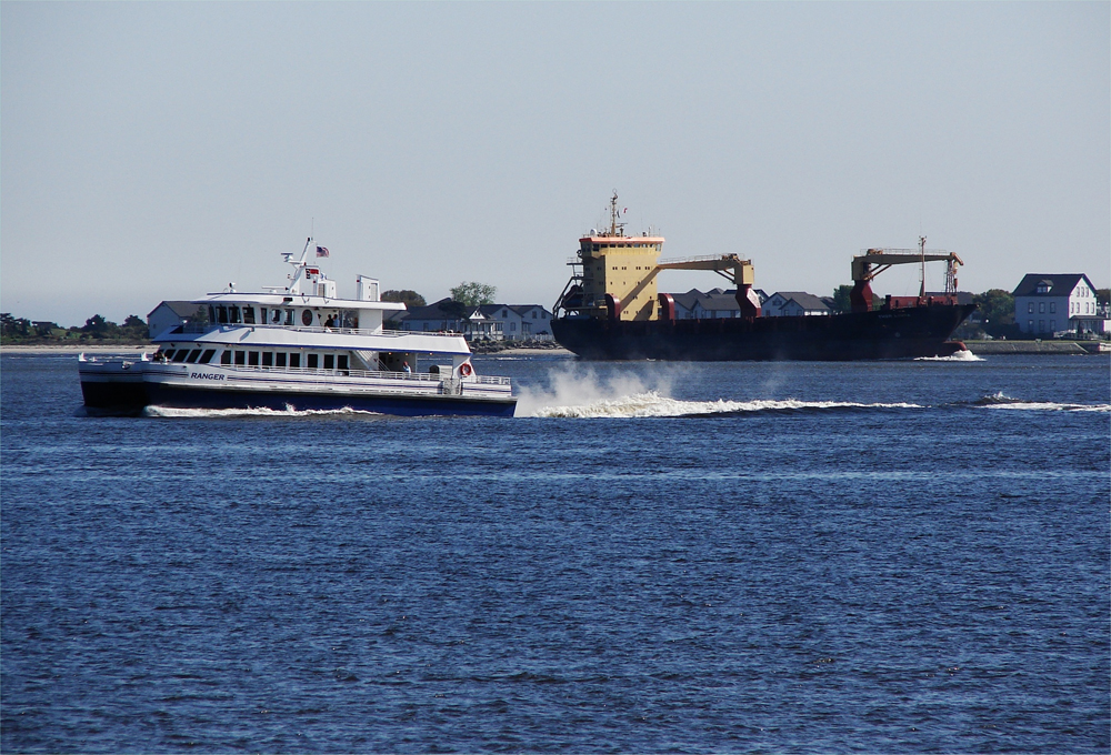
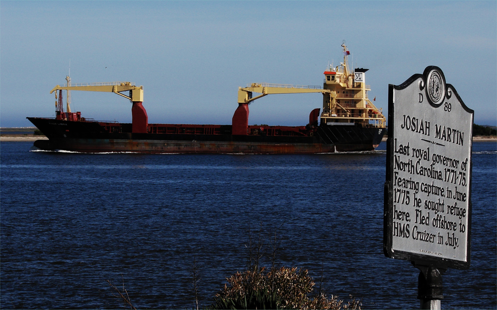
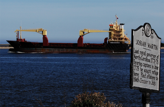
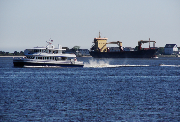 The most northern boundary of the Brunswick County is the Cape Fear River, which leads to North Carolina's largest port, located in Wilmington. Here the Bald Head Island Ferry makes its way to the island, while another Freighter leaves the Atlantic Ocean, enters the Cape Fear River in front of the village of Southport, and makes its way up the river: Above. Along with all the ships passing the village on a regular basis, history is writ large in Southport: Below. photos by Stan Deatherage Click the picture to expand to as much as 1000 pixels wide within most expanded images, and then push the arrows embedded in the center edge of the play-box to access the gallery, and slide new images into viewing within the center of the screen.
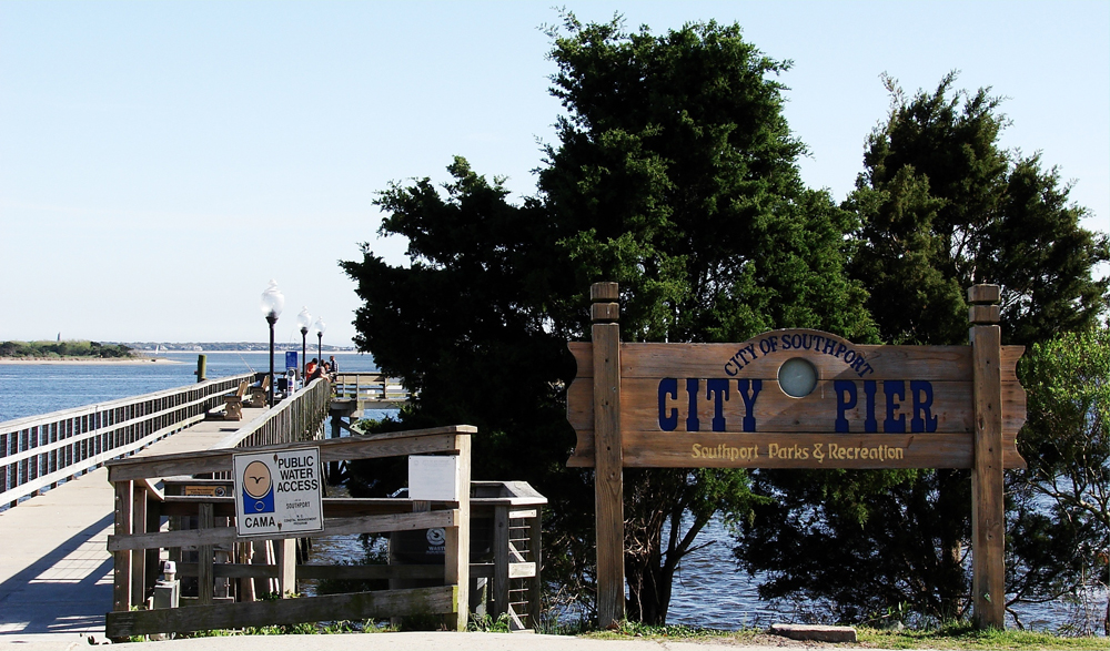
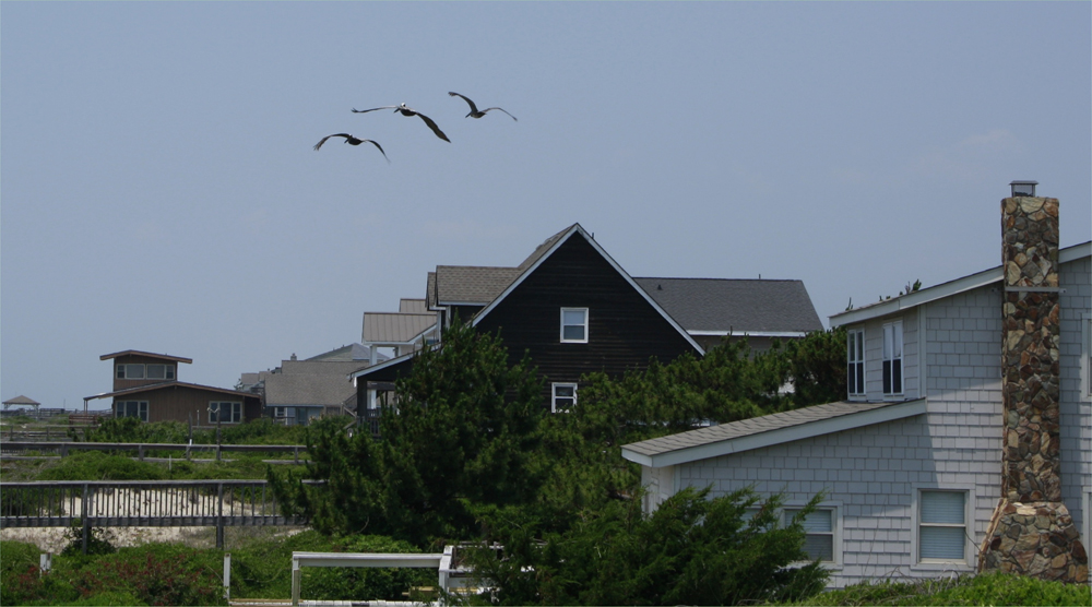
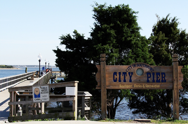
 It's all about the water, with the northern and eastern boundaries completely bordered by water: Above. And along the shore of Southport, where the folks can enjoy the city park, where the City Pier is one focal point of interest: Below. photos by Stan Deatherage Click the picture to expand to as much as 1000 pixels wide within most expanded images, and then push the arrows embedded in the center edge of the play-box to access the gallery, and slide new images into viewing within the center of the screen.
Brunswick County's easternmost border is the Atlantic Coast, and its beaches and communities attract tourists and vacationers from across the Unites States. Sunset Beach, Oak Island, Holden Beach, Bald Head Island, and Ocean Isle Beach are local and tourist favorites. In addition to the county's numerous beaches, the Cape Fear River is another geographical feature that makes the county's western border. Also, the shipping route of the Intracoastal Waterway meanders through Brunswick County as well.
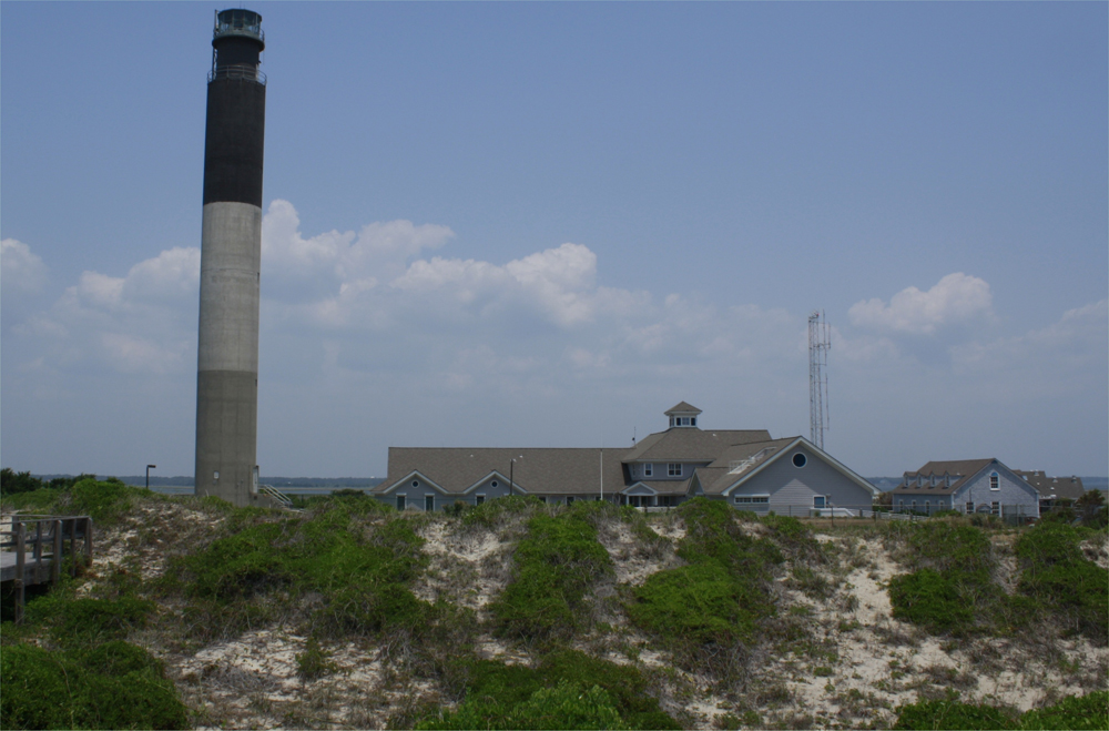
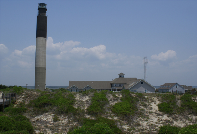
 Caswell Beach is the most northern beach on Oak Island, complete with the Oak Island lighthouse: Above and Below. photos by Stan Deatherage Click the picture to expand to as much as 1000 pixels wide within most expanded images, and then push the arrows embedded in the center edge of the play-box to access the gallery, and slide new images into viewing within the center of the screen.
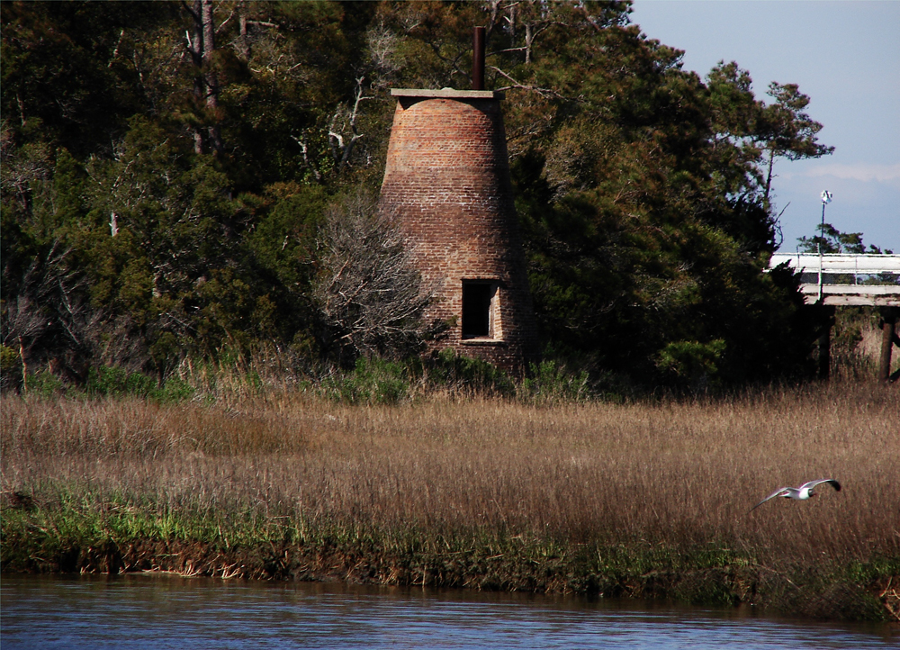
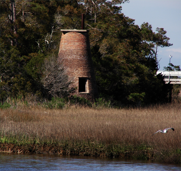
Brunswick County has many sites that offer a glimpse into the region's colonial and Civil War history. The Bald Head Island Lighthouse ("Old Baldy"), the Brunswick Inn, Fort Johnston, and the Orton Plantation are just a few places of historical importance. Also, there are several museums and cultural groups such as Southport Maritime Museum, the Bald Head Island Conservatory, and the Brunswick County Historical Society.
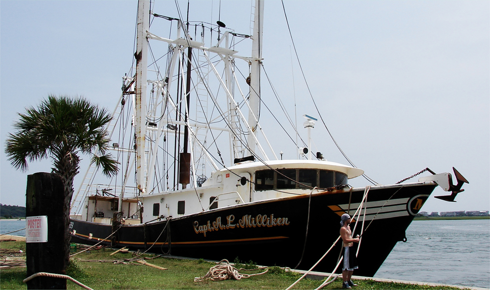
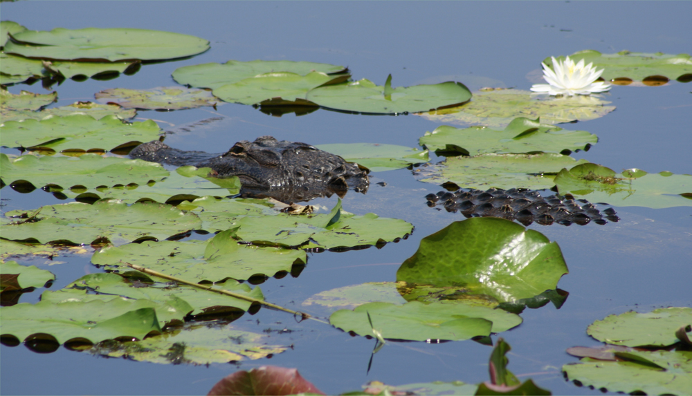
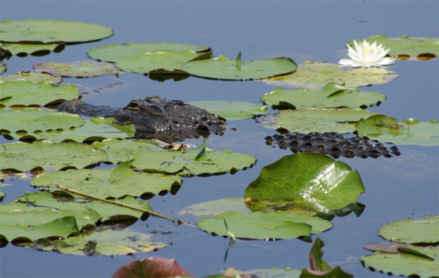
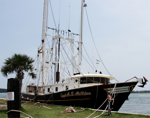 At Shallotte Point, there are many fishing boats docked here: Above. And you just have to love the Brunswick County Alligators in Orton Pond: Below. photos by Stan Deatherage Click the picture to expand to as much as 1000 pixels wide within most expanded images, and then push the arrows embedded in the center edge of the play-box to access the gallery, and slide new images into viewing within the center of the screen.
Brunswick County's fishing industry has had the most impact on the county's economy, but agriculture and manufacturing have been on the rise in recent years. During the late 1700s and throughout the 1800s, Brunswick County led the state in rice production. Many farmers in the area grow corn, berries, tobacco, and raise different types of livestock. Also, several manufacturers within the region are involved in lumber, polyester, and citric acid production.
Sources:
"County History." Brunswick County website. http://www.brunsco.net/Departments/GeneralGovernment/Administration/CountyHistory.aspx, (accessed June 29, 2011).
"Brunswick County." William S. Powell, ed. Encyclopedia of North Carolina (University of North Carolina Press: Chapel Hill, NC 2006), p. 152.
By Jonathan Martin, North Carolina History Project