Across North Carolina: Volume III | Eastern NC Now
This is the third of a new series of images from across North Carolina from my travels, and from the long intervals that I have spent with my camera making a record of where I have been.
Where do you stand on the Transgender Issue now that the issue has gotten to the overt point of the open celebration of this lifestyle choice, dictated by certain direct and explicit actions.
91.07% I do not approve of behavior that has within its expressed tenants policies that harm children.
8.04% I do support the Trans Community in all its many facets because diversity is at a premium in today's society.
0.89% What is a "Children's Drag Queen Story Hour?"
Publisher's note: Please be aware that we have created a new fixture at the foot of this post, describing the location of some of North Carolina's most memorable scenic points of interest, is our interactive map that we developed to do exactly what we want it to do ... for now.
Why am I going back and installing these interactive maps? Simply, folks like to use them because our newer posts are getting more views faster than the older posts did. Providing yet another 'leading edge' product that works is a good enough reason for me.
This is the third of a new series of images from across North Carolina from my travels, and from the long intervals that I have spent with my camera making a record of where I have been. Upon examination of these random images, I concluded that best format would be the one page arrangement, where I cut the images to 1280 pixels wide, arrayed in a wide viewed 'fancybox' series, where there is a title of explanation, and maybe a bit more, but mainly, the photo should speak rather than my words. In fact, I plan to put my words on hold for a bit here, which will be to the fine relief of a great many.
Each series will be random and varied; however, most will center from here in eastern North Carolina, which is closer to my home in northeastern North Carolina, in the county of Beaufort, and the county seat of Washington, my home. From this perspective, we will reach out beyond the myriad waters: fresh and calm, brackish and moving, salty with powerful waves, and get to see North Carolina, where we may know it a little better, if only through images.
This random display of images of North Carolina, made by the Tar Heel traveler, may have been revealed earlier in BCN, and when I can remember a relative series, I shall link to it; however know that this series of ongoing themes will remain that there is no theme. In this random projection of unrelated images, the series will seek its relevance, its beauty and its strength of purpose.
The Third Pictorial Trek from Here to There and Back Again
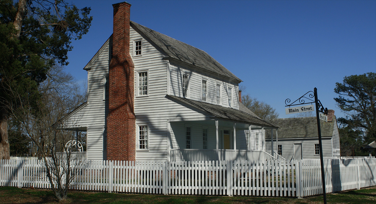
We begin in Beaufort County in North Carolina's oldest community, Bath, at the point of the peninsula between Bath Creek and Back Creek, here where the Bonner House rests: Above. To Asheville, maybe North Carolina's most expressive city, deep in the Blue Ridge Mountains: Below.photos by Stan DeatherageClick images to expand.
Tighten your seat belt because Charlotte is south and east out of these tallest, most rugged mountains of these eastern United States.
From the Bank of America Stadium, we view the skyline of North Carolina's Queen City: Above. Charlotte has the distinction of being America's first gold rush town, now it is known as one of America's top banking centers, along with New York and San Francisco, and the Panthers: Below.photos by Stan DeatherageClick images to expand.
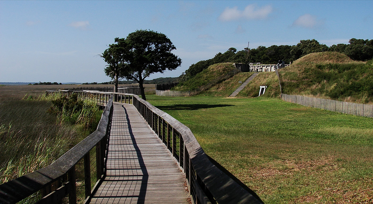
The USS North Carolina, shown here in a dredged out creek adjacent to the Cape Fear River, in New Hanover County, was being fitted for war in the New York naval Shipyard when America suffered the devastating attack at Pearl Harbor: Above. And during the War of Northern Aggression, Fort Fisher protected the Cape Fear River and has the noble distinction of being the last Confederate fort to fall, and Wilmington was the last port captured: Below.photos by Stan DeatherageClick images to expand.
North Carolina is known for many things, not least of which are our beaches.
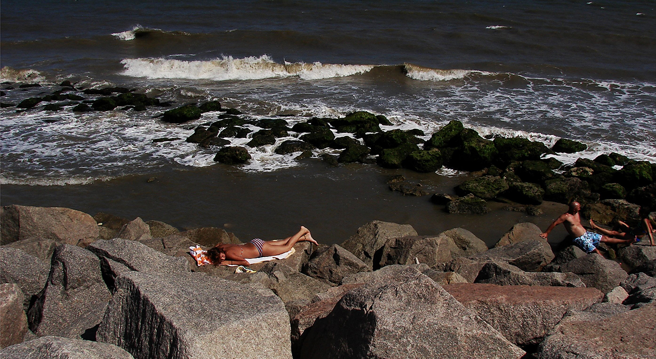
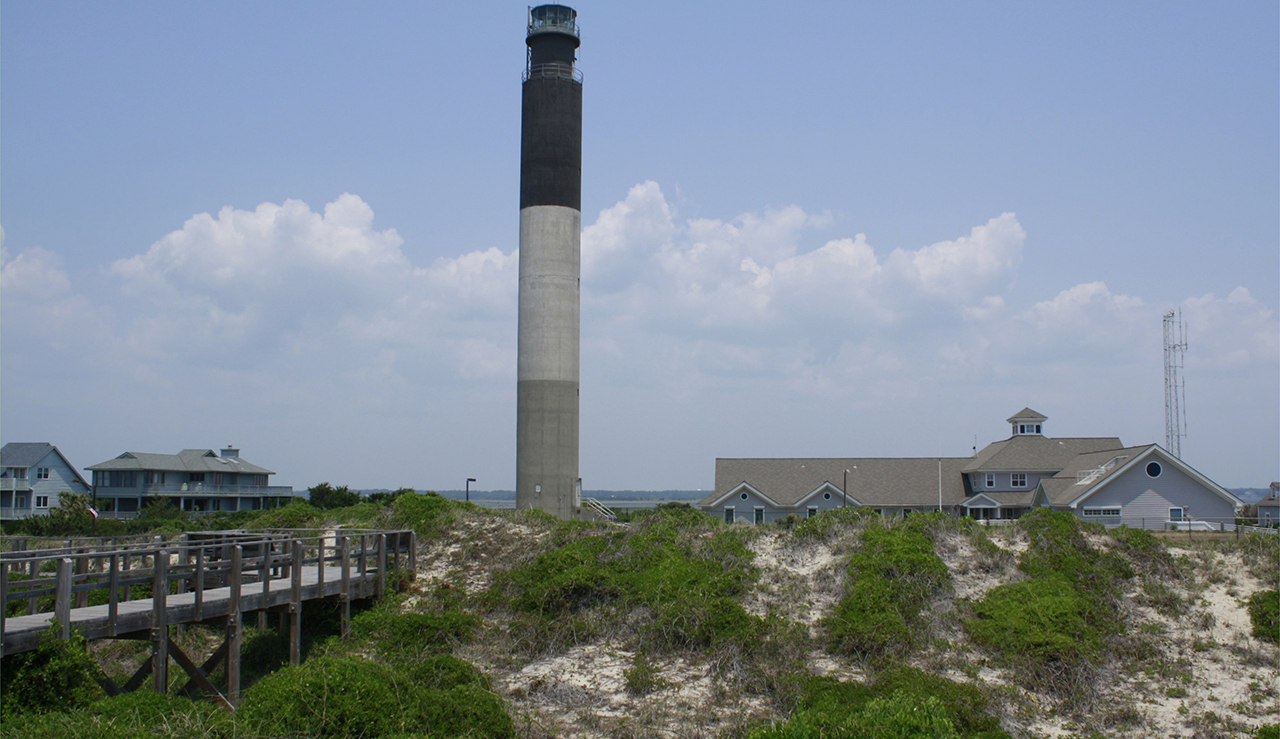
Intimately close to Fort Fisher is Kure Beach, where the expansive Rip Rap holds the beach and sustains Fort Fisher for future generations: Above. Just across the Cape Fear, and south is the Oak Island Light Station: Below.photos by Stan DeatherageClick images to expand.
On this occasion, I find myself inextricably drawn back to North Carolina's Mountains ...
... To the peaceful Julian Price Lake, where we see a distant Grandfather Mountain: Above. And then this lovely mountain flower easily found along the alpine ridge of the tallest of the Appalachian Mountains: Below.photos by Stan DeatherageClick images to expand.
And then back east again, where I call home.
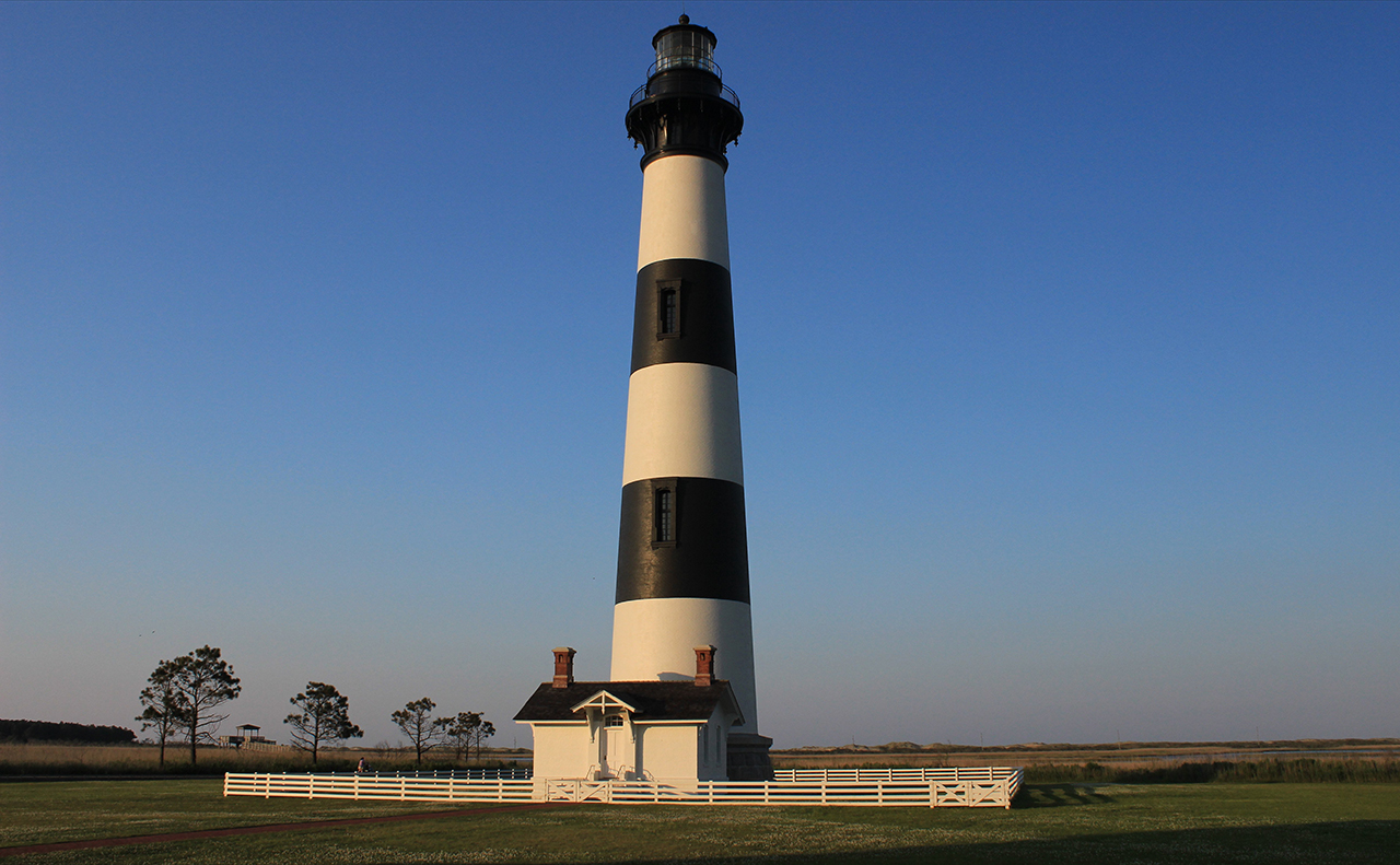
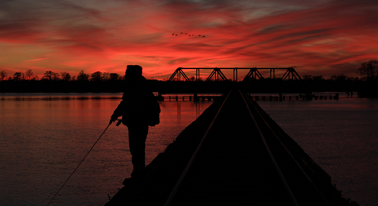
Back to Bodie Island Light Station east and north from my home in northern Beaufort County: Above. Back to the trestle fording the Pamlico River, minutes from my home, where I have gotten so many wonderful views of life, especially at sunset: Below.photos by Stan DeatherageClick images to expand.
We'll do another one of these as the time becomes ready and appropriate. At your leisure, please follow this link to the growing list of this pictorial series - "Across North Carolina".
Below is our new interactive map that will show where all the pictures were made, and if you wish, you can get the distances and directions to these vistas. Also, you can interact with the map by placing your address in the "Enter an Address or Place & Click Find" field, and then click find to get best directions and mileage between your address and the chosen subject site. More features to follow.