This is the second of a new series of images from across North Carolina from my travels, and from the long intervals that I have spent with my camera making a record of where I have been.
Where do you stand on the Transgender Issue now that the issue has gotten to the overt point of the open celebration of this lifestyle choice, dictated by certain direct and explicit actions.
91.07% I do not approve of behavior that has within its expressed tenants policies that harm children.
8.04% I do support the Trans Community in all its many facets because diversity is at a premium in today's society.
0.89% What is a "Children's Drag Queen Story Hour?"
Publisher's note: Please be aware that we have created a new fixture at the foot of this post, describing the location of some of North Carolina's most memorable scenic points of interest, is our interactive map that we developed to do exactly what we want it to do ... for now.
Why am I going back and installing these interactive maps? Simply, folks like to use them because our newer posts are getting more views faster than the older posts did. Providing yet another 'leading edge' product that works is a good enough reason for me.
This is the second of a new series of images from across North Carolina from my travels, and from the long intervals that I have spent with my camera making a record of where I have been. Upon examination of these random images, I concluded that best format would be the one page arrangement, where I cut the images to 1280 pixels wide, arrayed in a wide viewed 'fancybox' series, where there is a title of explanation, and maybe a bit more, but mainly, the photo should speak rather than my words. In fact, I plan to put my words on hold for a bit here, which will be to the fine relief of a great many.
Each series will be random and varied; however, most will center from here in eastern North Carolina, which is closer to my home in northeastern North Carolina, in the county of Beaufort, and the county seat of Washington, my home. From this perspective, we will reach out beyond the myriad waters: fresh and calm, brackish and moving, salty with powerful waves, and get to see North Carolina, where we may know it a little better, if only through images.
This random display of images of North Carolina, made by the Tar Heel traveler, may have been revealed earlier in BCN, and when I can remember a relative series, I shall link to it; however know that this series of ongoing themes will remain that there is no theme. In this random projection of unrelated images, the series will seek its relevance, its beauty and its strength of purpose.
The Second Pictorial Trek from Here to There and Back Again
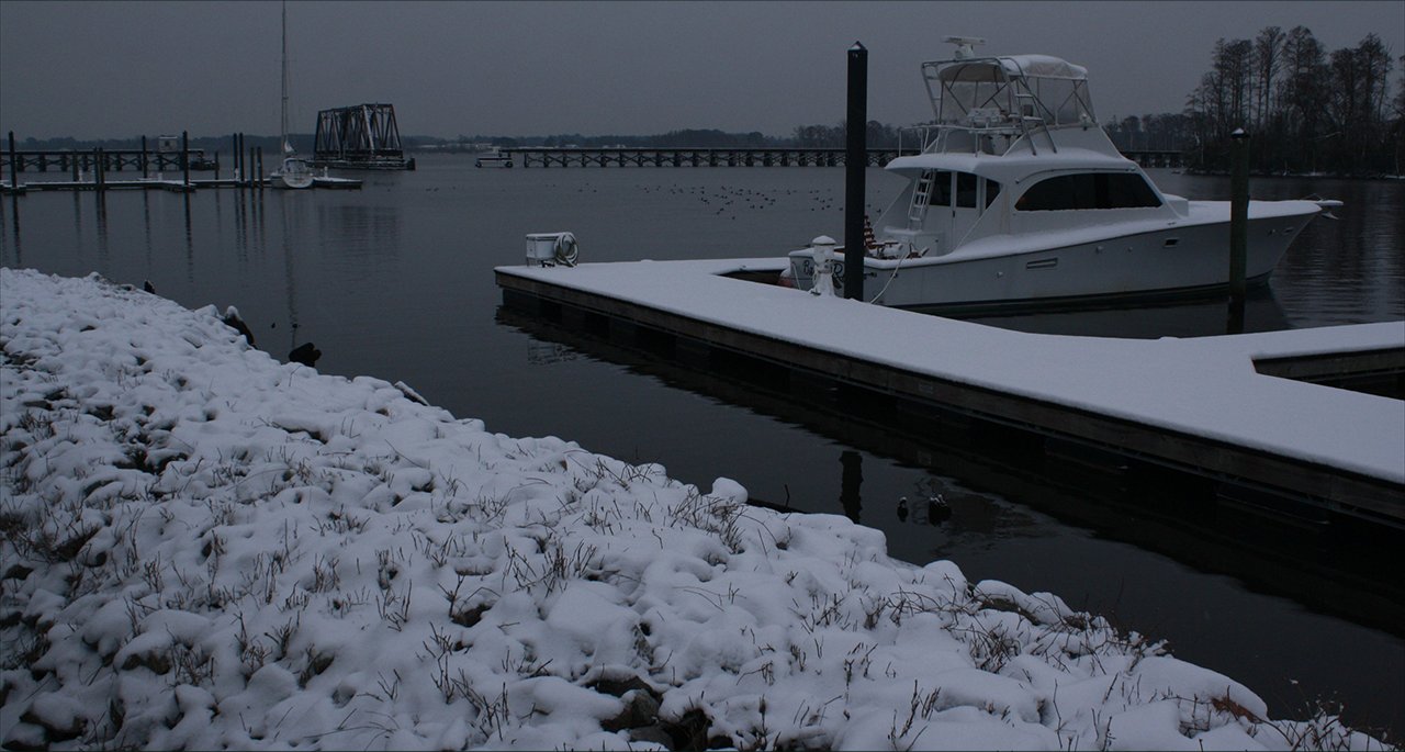
We begin in Beaufort County, where we had an uncommonly cold winter with two good snow days: Above. And watched the sun rise above the Atlantic Ocean in Nags Head: Below.photos by Stan DeatherageClick images to expand.
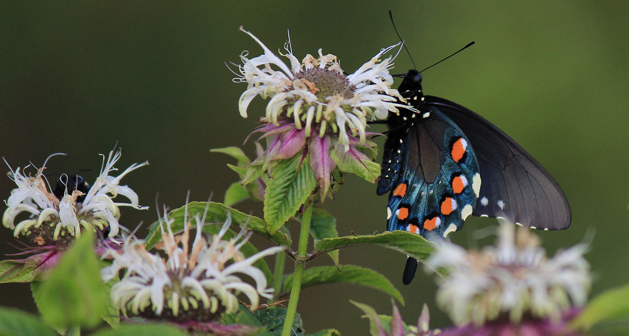
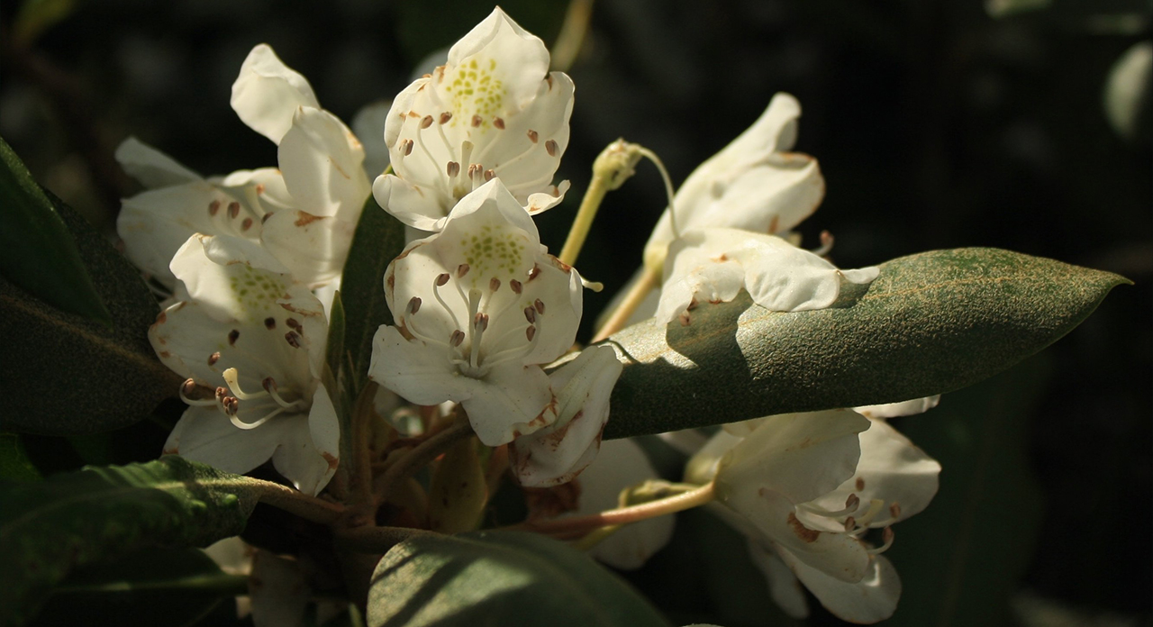
Across this wide swath of a state, we sojourn to see small things.
The skyline of Raleigh from the south: Above. And then farthest east to the Whalehead Club on the banks of the Currituck Sound: Below.photos by Stan DeatherageClick images to expand.
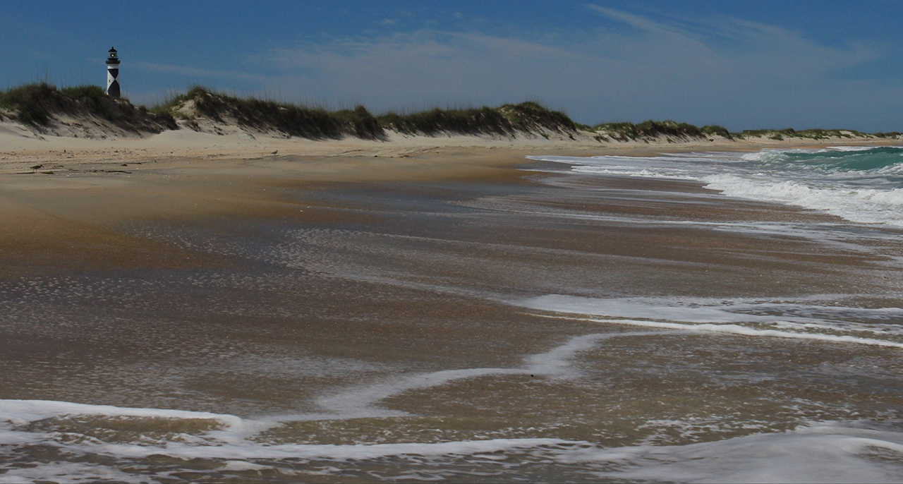
And then South along the geological phenomenon, the silver slip of sand - North Carolina's Outer Banks.
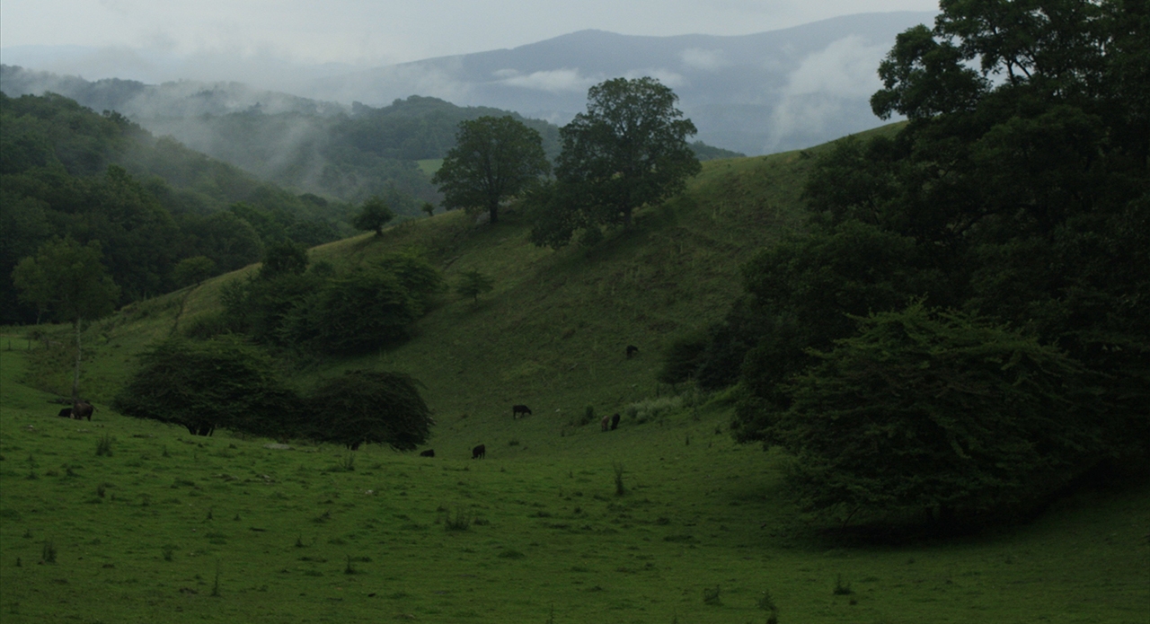
Core Banks, where Cape Lookout Light Station still shines in Carteret County: Above. And then another kind of summer's day at Moses Cone Memorial Park, where we see a cloud shrouded Grandfather Mountain in the distance: Below.photos by Stan DeatherageClick images to expand.
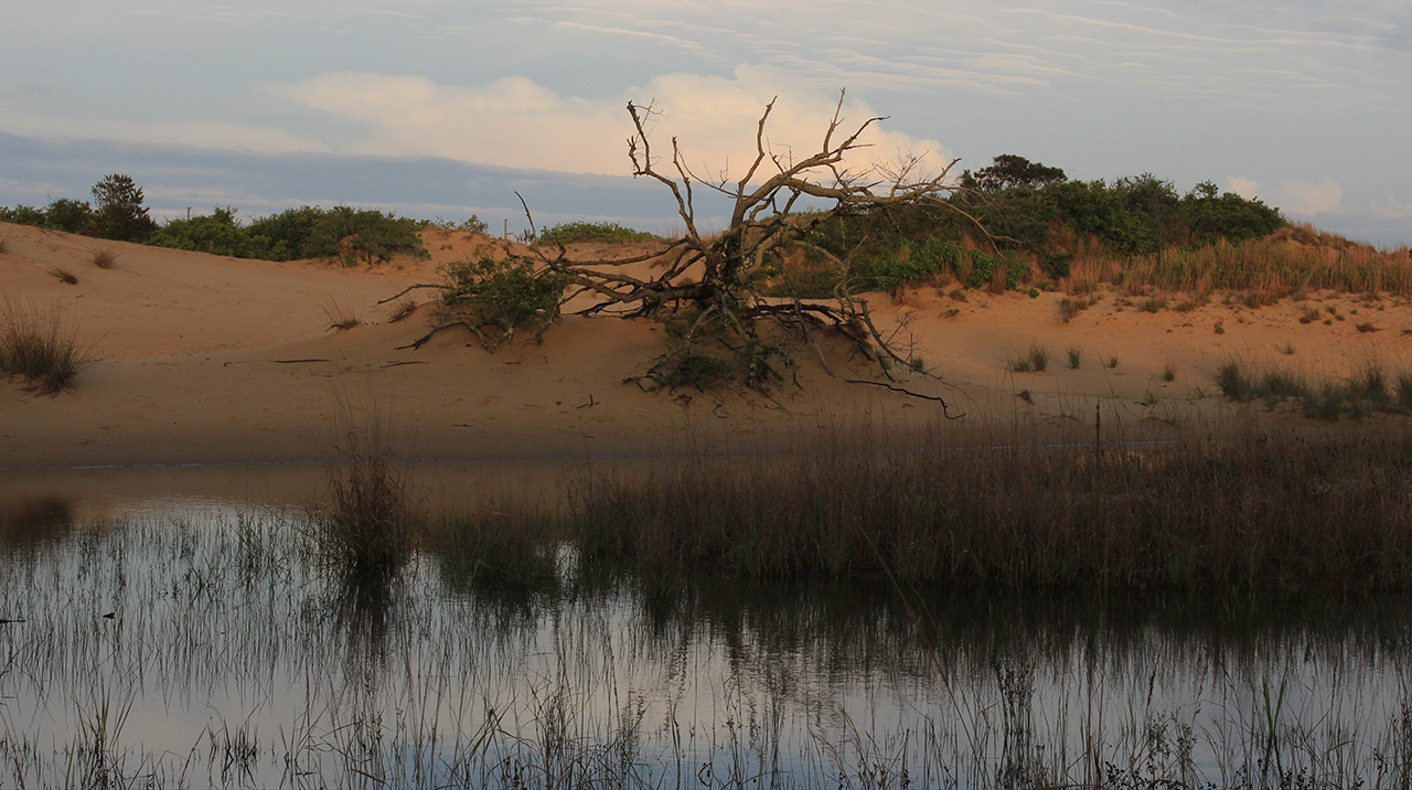
And then like a boomerang back east to Dare County's desert on the Roanoke Sound, we find our way ...
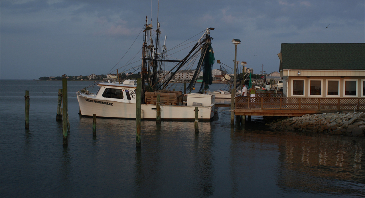
... To the lower ground at Jockeys Ridge State Park: Above: Then the Bogue Sound side view of a seafood restaurant in Salter Path: Below.photos by Stan DeatherageClick images to expand.
And then back home to Beaufort County ...
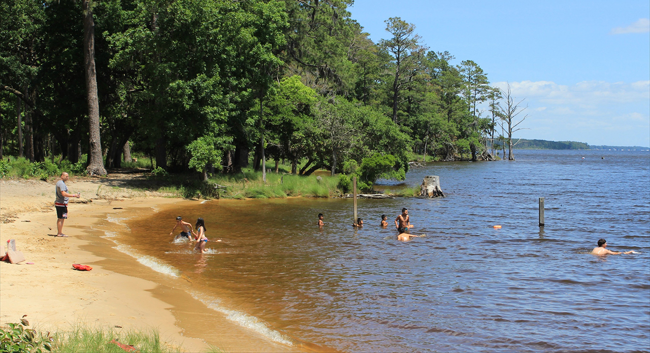
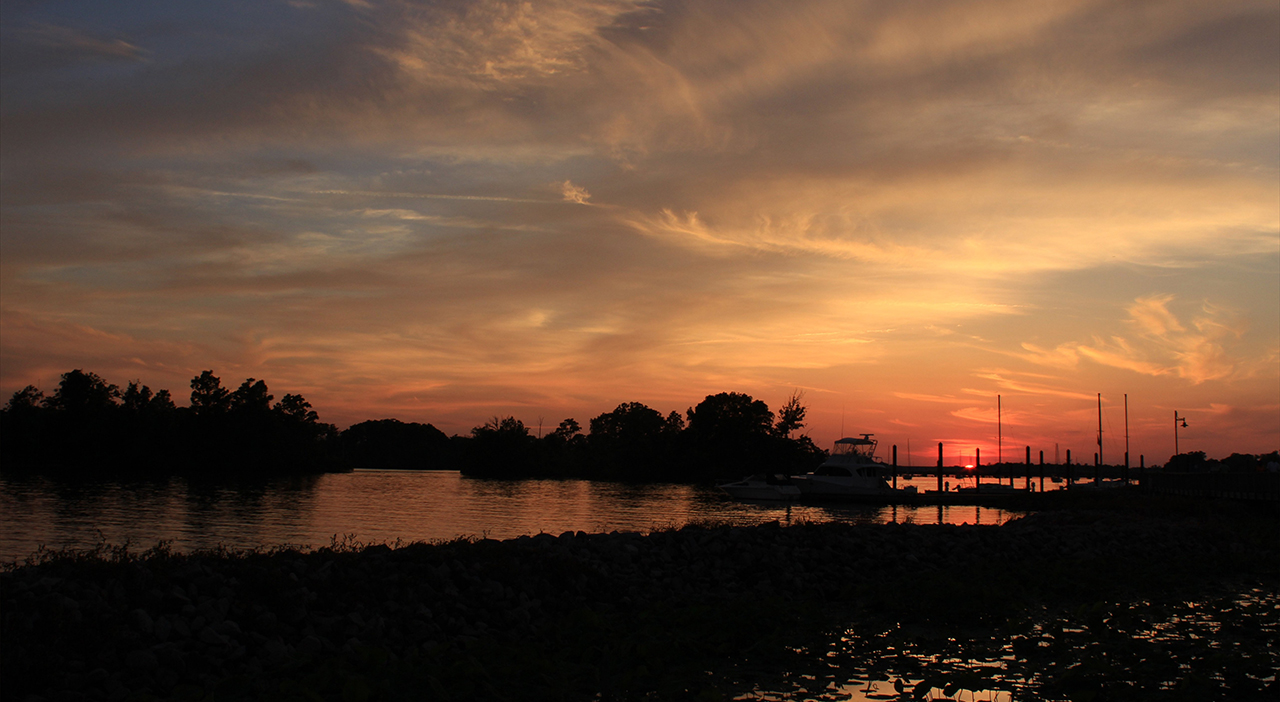
... Where the water is always refreshing in summer at Goose Creek State Park on the Pamlico River: Above. And we bid good day to the cooler air of a good night along Washington's waterfront: Below.photos by Stan DeatherageClick images to expand.
We'll do another one of these as the time becomes ready and appropriate. At your leisure, please follow this link to the growing list of this pictorial series - "Across North Carolina".
Below is our new interactive map that will show where all the pictures were made, and if you wish, you can get the distances and directions to these vistas. Also, you can interact with the map by placing your address in the "Enter an Address or Place & Click Find" field, and then click find to get best directions and mileage between your address and the chosen subject site. More features to follow.
The only thing which concerns me is how lovely our natural beauty is NOW vs. what happens when Fracking inland and possible Offshore Oil Wells in the Graveyard of the Atlantic threaten the Outer Banks and Gulf Stream?
If Fracking corrupts our rivers, streams, and aquifers flowing down hill to the Sounds and Offshore Drilling has a blow out (as did the Deep Water Horizon) ~~~ will we in Beaufort County become a CRUDE OIL SANDWICH????


And just one more thing ... 'Drill baby drill'!