

A Constitutional Republic, where the First Amendment is Essential to OUR Survival


"Every Picture Tells a Story ... Don't It:" On the Road - The Colorful Shenandoah, Chapter II


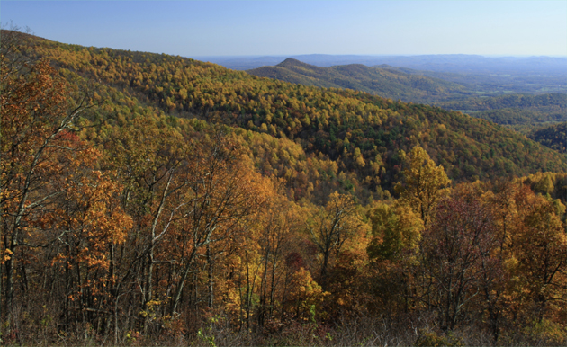
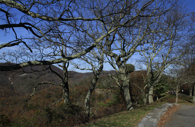
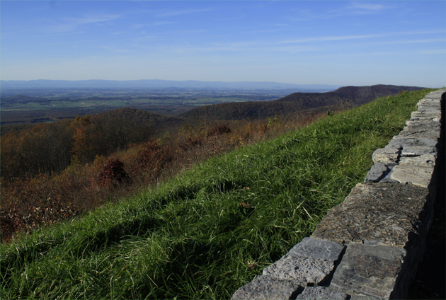
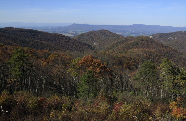
As you may have surmised from the previous picture of the Massanutten Mountain range, there in the middle ground, and also from the maps, the one shown and the enlarged version, the Shenandoah Valley was the perfect battle ground for the far wiser Confederate forces that needed the logistical lay-of-the-land to defeat the far superior Union forces, and continue to supply their boys in the butternut grey. The Shenandoah Valley was just too essential as a tactical asset to surrender to the far superior numbers of the North's Army of the Potomac, so these lads from mostly Virginia and North Carolina fought like wild wolverines to hold this valley.
Thomas J. "Stonewall" Jackson, from nearby Lexington, Virginia, defeated the norther intruders on every battlefield, from 1st Manassas to Chancellorsville, where he was mortally wounded by one of his own soldiers, who mistook him for a Yankee courier. General Jackson knew how to access the high ground in the valley, and once used Massanutten's Synclinal Ridge, which occupies the length of the center of the northern Shenandoah Valley, as a nearly 52 mile platform, from which the resourceful general could observe the Union movements, and swoop down from the high gorges of the Massanutten Range, engage his enemy, and then retreat again to their safety. As long as General Jackson was alive, he controlled the Shenandoah Valley.
To be continued as time permits in "Every Picture Tells a Story ... Don't It:" On the Road - The Colorful Shenandoah, Chapter III.

Comment

|
Gene Scarborough said:
( December 3rd, 2014 @ 8:09 pm )
Nice pics, bro!!!
|


Home
Contact
About
Service Rates
Privacy Policy
Follow on Facebook
Subscribe to Newsletters
Rss Feed
Keywords
Eastern NC Now & ENC NOW © Copyright 1998-2024 All Rights Reserved.
