Weather Alert: It Still Looks Like a Very Powerful Storm | Eastern NC Now
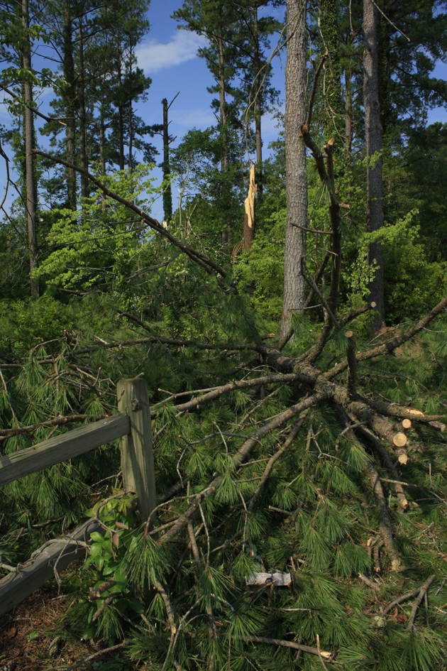
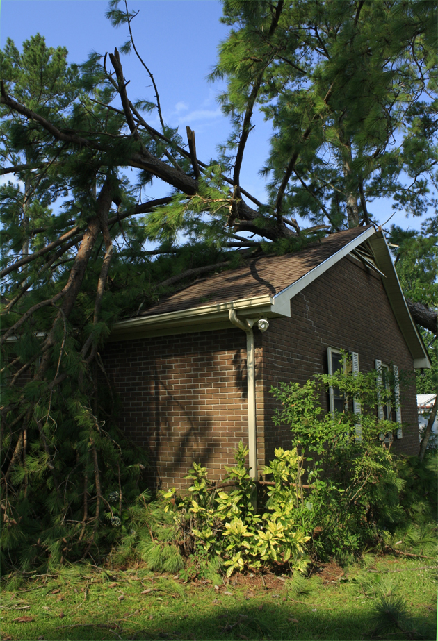
It appears the worst of the storm may not arrive here until around 7:00 pm this evening.
| Senate Tax Reform Plan Passes Key Committee Hurdle | Public Issues, Government, Governing Beaufort County | Governor McCrory Takes Action on Legislation |

 |
Winning teams represent excellence of work across the hospital system
Published: Thursday, July 2nd, 2026 @ 10:34 am
By: ENC NOW
|
 |
Smoke and mirrors keep county citizens paying higher taxes.
|
 |
The city council has only made two official acts as of February 16, 2026
Published: Tuesday, February 24th, 2026 @ 1:05 pm
By: Nick Fritz
|
 |
While this afternoon’s update once again included increased probabilities of moderate to major impacts, it will likely be tomorrow before we receive specific accumulation details.
Published: Thursday, January 29th, 2026 @ 1:49 pm
By: ENC NOW
|
 |
Government and its bureaucracy are not perfect, and never has been in this self-governed society, here at the local level, at our state level, and at our federal level, therefore, it is incumbent upon all elected politicians to seek a comfortable level of representation for our constituents.
Published: Tuesday, January 27th, 2026 @ 12:24 pm
By: Stan Deatherage
|
 |
What is the opposition to being tough on drugs and crime?
|

 |
A clear disregard for rules exists within senior party leadership.
|
 |
November 10, 2025 City Council Agenda
Published: Friday, November 7th, 2025 @ 3:34 pm
By: ENC NOW
|
 |
Beaufort County is implementing a new emergency alert system. All residents are encouraged to sign up to receive alerts via phone and email.
Published: Tuesday, September 23rd, 2025 @ 10:29 pm
By: ENC NOW
|
 |
Recognition highlights ECU Health’s commitment to rural health care
Published: Tuesday, September 23rd, 2025 @ 8:21 pm
By: ENC NOW
|
 |
Garris and Kidwell overstep their bounds and authority.
|
 |
Statement shared from Stacey Davis
|

 |
Has the local government acted responsibly and transparently?
Published: Friday, August 29th, 2025 @ 8:36 am
By: Nick Fritz
|


